Villages
aDRIAN
Adrian is an unincorporated community on W County Road 59 in Big Spring township, in southwestern Seneca County, Ohio, United States, roughly three miles (five kilometres) south-southeast of Frenchtown.
Adrian was originally called Oregon, and under the latter name was laid out in 1844 A post office called Adrian has been in operation since 1853.
ALVADA
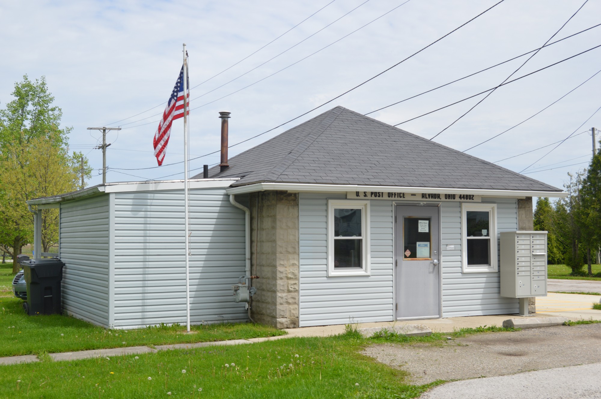
Alvada is an unincorporated community in western Big Springs Township, Seneca County, Ohio, United States. Although it is unincorporated, it has a post office, with the Zip Code of 44802. It is located along the concurrency of U.S. Route 23 and State Route 199.
A post office called Alvada has been in operation since 1877. By 1880, Alvada had 63 inhabitants.
AMSDEN
Amsden is an unincorporated community in Jackson Township, Seneca County, Ohio, United States. The community is served by the Fostoria (44830) post office.
Amsden has its start when the railroad was extended to that point. A post office called Amsden was established in 1874, and remained in operation until 2002.
Points of interest include the Union soldier memorial that forms the front of the Amsden United Methodist Church.
ANGUS
Angus is an unincorporated community in Seneca County, in the U.S. state of Ohio.
Angus was founded in 1883 by J. W. Angus when the railroad was extended to that point. A post office was established at Angus in 1883, and remained in operation until 1902.
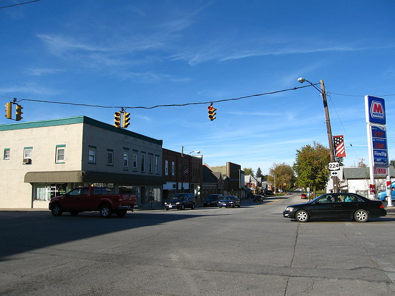
ATTICA
Attica is a village is Seneca County, Ohio, United States. The population was 899 at the 2010 census.
Attica was designed a Tree City USA by the National Arbor Day Foundation.
Attica was named after Attica, New York, the hometown of a pioneer settler.
BASCOM
Bascom is a census-designated place in western Hopewell Township, Seneca County, Ohio, United States. Although it is unincorporated, it has a post office, with the ZIP code of 44809, as well as hosts Hopewell-Loudon Elementary and High School. The community is located at the intersection of State Routes 18 and 635 east of Fostoria.
Bascom was laid out in 1837. The community derives its name from Scott & Bascom, Ohio newspaper editors. A post office called Bascom has been in operation since 1850.
BERWICK
Berwick is an unincorporated community in Seneca Township, Seneca County, Ohio, United States. It is located next to the intersection of East County Road 6 and State Route 587. The community is served by the New Riegel (44853) post office.
Berwick was laid out and platted in 1845. The community was named after Berwick, Pennsylvania, the native home of a first settler. A post office called Berwick was established in 1848, and discontinued in 1955.
BETTSVILLE
Bettsville is a village in Seneca County, Ohio, United States. The population was 661 at the 2010 census.
Bettsville was laid out in 1838. It was named for its founder, John Betts.
BLOOMVILLE
Bloomville is a village in Seneca County, Ohio, United States. The population was 956 at the 2010 census.
The first settlement at Bloomville was made in 1822. Bloomville was laid out in 1837. It was incorporated as a village in 1871.
CAROLINE
Caroline is an unincorporated community in Venice Township, Seneca County, Ohio, United States. It is located along State Route 4, just south of Attica. The community is served by the Attica (44807) post office.
Caroline was laid out in 1826. The community was named after Caroline, the daughter of a pioneer settler. A post office was established at Caroline in 1827, and discontinued in 1830.
CARROTHERS
Carrothers is an unincorporated community in Venice Township, Seneca County, Ohio, United States. It is located along State Route 4, just north of the border between Seneca and Crawford County. The community is served by the Attica (44807) post office.
Carrothers was platted in 1873 by James Carrothers, and named for him. A post office was established at Carrothers in 1874.
COOPER
Cooper is an unincorpated community in Seneca County, in the U.S. state of Ohio.
A post office called Cooper was established in 1899, and remained in operation until 1903. The advent of Rural Free Delivery caused Cooper's post office to be discontinued.
CROMERS
Cromers is an unincorporated community in Seneca County, in the U.S. state of Ohio.
A post office was established at Cromers in 1875, and remained in operation until 1952. Besides the post office, Cromers had a railroad depot.
FIRESIDE
Fireside is an unincorporated community in Seneca County, in the U.S. state of Ohio.
A post office called Fireside was established in 1866, and remained in operation until 1900. The advent of Rural Free Delivery caused Fireside's post office to be discontinued.
FLAT ROCK
Flat Rock is a census-designated place in northeastern Thompson Township, Seneca County, Ohio, United States. Although it is unincorporated, it has a post office, with the ZIP code of 44828.
Flat Rock was originally called Lewisville, and under the latter name was platted in 1841. A post office called Flat Rock has been in operation since 1846. The present name comes from a flat layer of rock covering an artesian aquifer.
FORT SENECA
Fort Seneca is a census-designated place in Pleasant Township, Seneca County, Ohio, United States. It is located on State Route 53, approximately 6 miles (9.7 km) North of Tiffin. It had a population of 254 in 2010. Although unincorporated, Fort Seneca had a post office, with the ZIP code of 44829 until 1998. The post office was opened on December 15, 1821.
The community of Fort Seneca was platted in 1836, and named after Old Fort Seneca, which was located 2 miles away from the present town site.
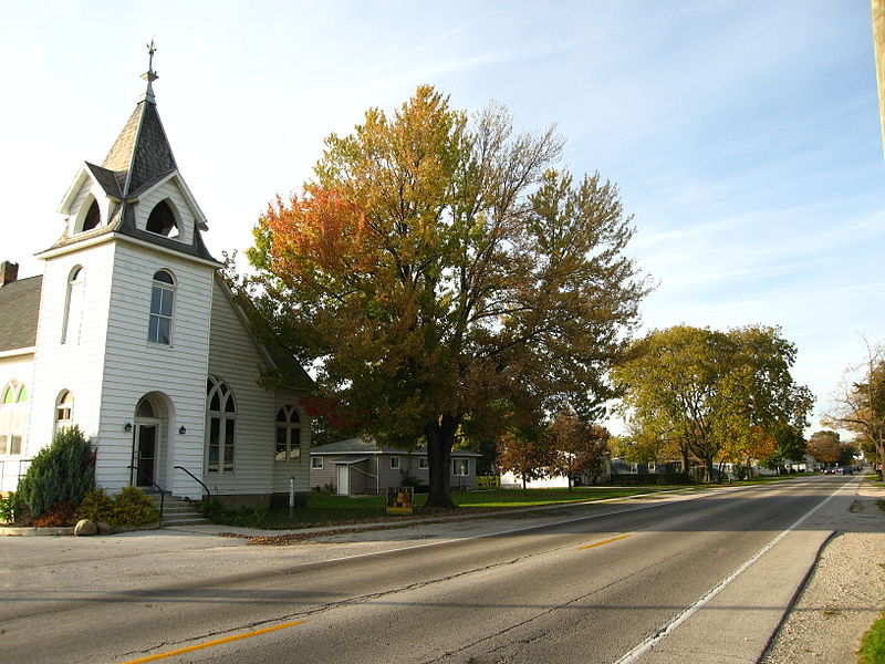
FRENCHTOWN
Frenchtown is an unincorporated community in Seneca County, in the U.S. state of Ohio.
The first settlement at Frenchtown was made in the 1840s by a colony of French people.
GREEN SPRINGS
Green Springs is a village in Sandusky and Seneca counties in the U.S. state of Ohio. The population was 1,368 at the 2010 census.
Its "claim to fame" is Mineral Springs, the largest natural sulfur spring in the world. Elmwood at the Springs Healthcare Center, formerly St. Francis Health Care Center, is located there.
The Green Springs area was originally inhabited by the Seneca Indians. But in 1830, the Seneca were forced to move to reservations in the West because of a policy of Indian removal developed by the administration of Andrew Jackson. Then, in 1831, Jacob Stem, the founder of Green Springs, bought the land from the government. He purchased about 1,200 acres (4.9 km2) within Sandusky and Seneca counties, including the sulfur spring. It has been told by older citizens of that time that he really did not get the spring then, but later on bought it from the Indians for 12 bags of wheat, 12 bags of oats, 12 bags of corn, and a mule. The village was originally called Stemtown, named after the founder. It was later called Green Springs, named from the color of the water from the spring.
HOPEWELL
Hopewell (also, Hopewell Center) is a former unincorporated community in Hopewell Township, Seneca County, Ohio, United States. The U.S. Geographic Names Information Systems (GNIS) lists the location of Hopewell as unknown. Hopewell was platted in 1836.
ILER
Iler is an unincorporated community in Seneca County, in the U.S. state of Ohio.
Iler had its start in 1885 when the Nickel Plate Railroad was extended to that point. A post office was established at Iler in 1885, and remained in operation until 1923.
KANSAS
Kansas is a census-designated place in northwestern Liberty Township, Seneca County, Ohio, United States. Although it is unincorporated, it has a post office, with the ZIP code of 44841. It is located along State Route 635.
Kansas was platted in early 1855 along a line of the Lake Erie and Louisville Railroad. The community took its name from the Kansas Territory. A short distance south of the community on State Route 635 is the Michaels Farm, which has been named a historic site.
LOWELL
Lowell is an unincorporated community in Adams Township, Seneca County, Ohio, United States. It is located at the intersection of State Routes 101 and 778.
A former variant name of Lowell was Adams. A post office called Adams was established in 1827, and remained in operation until 1879.
MAPLE GROVE
Maple Grove is an unincorporated community in Seneca County, in the U.S. state of Ohio.
Maple Grove was originally called Linden. A post office called Maple Grove was established in 1885, and remained in operation until 1955.
MCCUTCHENVILLE
McCutchenville is a census-designated place (CDP) in northern Tymochtee Township, Wyandot County, Ohio, United States. Although it is unincorporated, it has a post office, with the ZIP code of 44844. It lies at the intersection of State Routes 53 and 587.
McCutchenville was laid out in 1829. The community was named for Joseph McCutchen, the original owner of the town site. A post office has been in operation at McCutchenville since 1833.
MELMORE
Melmore is a census-designated place in central Eden Township, Seneca County, Ohio, United States. Although it is unincorporated, it has a post office, with the ZIP code of 44845. It is located at the intersection of State Routes 67 and 100.
Melmore was platted in 1824. The name Melmore was formed from the Latin mel, meaning "honey", and the adjective -more; honey standing for Honey Creek, upon which the town is situated. A post office was established at Melmore in 1825, and remained in operation until 1993.
MIDDLEBURG
Middleburg is an extinct town in Seneca County, in the U.S. state of Ohio.
Middleburg was platted in 1832.
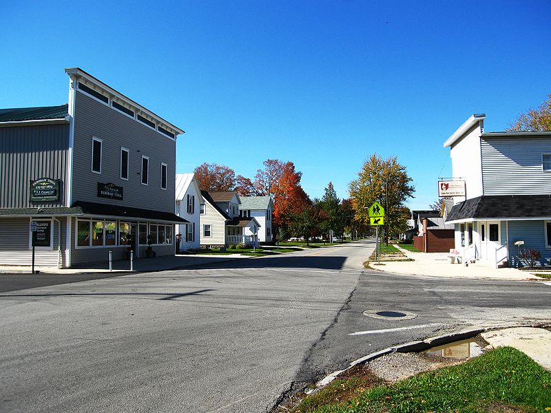
NEW RIEGEL
New Riegel is a village in Seneca County, Ohio, United States. The population was 249 at the 2010 census.
The village was named after Riegel, Germany, the native home of a large share of the early settlers.
OLD FORT
Old Fort is a census-designated place located in northern Pleasant Township, Seneca County, Ohio, United States. Although it is unincorporated, it has a post office, with the ZIP code of 44861.
Old Fort was platted in 1882, and named after Fort Seneca, a fort built during the War of 1812. A post office has been in operation at Old Fort since 1882.
Old Fort High School is located on County Road 51.
OMAR
Omar is an unincorporated community in Seneca County, in the U.S. state of Ohio.
Omar had its start in 1854 when the railroad was extended into the area. A post office called Omar was established in 1874, and remained in operation until 1935.
REEDTOWN
Reedtown is an unincorporated community in Seneca County, in the U.S state of Ohio.
A post office called Reedtown was established in 1828, and remained in operation until 1903. Like Reed Township, Reedtown derives its name from Seth Read, a pioneer settler.
REHOBOTH
Rehoboth is an unincorporated community in Seneca County, in the U.S. state of Ohio.
Rehoboth was laid out in 1844.
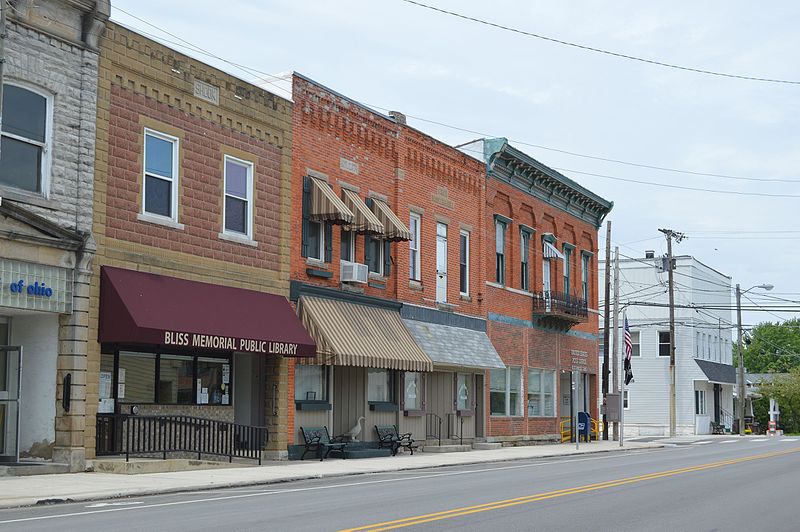
REPUBLIC
Republic is a village in Seneca County, Ohio, United States. The population was 549 at the 2010 census.
In 1834, Sidney Smith hired R.M. Shoemaker of Cincinnati to survey a new town at the corners of sections 15, 16, 21, and 22 in Scipio Township. He called it "Republic," though it was known by many early settlers simply as "Scipio Center."
With the arrival of a rail line from Sandusky in 1841, Republic became a popular trading center. Stores, warehouses, shops, and factories sprang up almost overnight. And, a second rail line was contemplated between Republic and Melmore in Eden Township.
When the old Seneca County courthouse at Tiffin burned on May 21, 1841, efforts were made to establish the new county seat at Republic.
Republic's fortunes began to decline when the new Cincinnati, Sandusky & Cleveland Railroad bypassed it to make a straight run to Tiffin, although it experienced something of a revival with the coming of the Baltimore and Ohio Railroad. The railroad passes over State Route 19 via an arch bridge.
ROCKAWAY
Rockaway is an unincorporated community in Seneca County, in the U.S. state of Ohio.
A post office called Rockaway was established in 1874, and remained in operation until 1910. The advent of Rural Free Delivery caused Rockaway's post office to be discontinued.
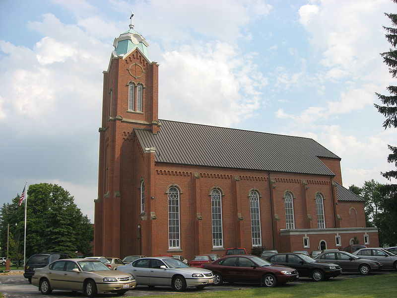
SAINT STEPHENS
Saint Stephens is an unincorporated community in Seneca County, in the U.S. state of Ohio.
The community's namesake St. Stephen Roman Catholic Church was founded in 1842. A post office called Saint Stephen was established in 1876, and remained in operation until 1957.
SIAM
Siam is an unincorporated community in Reed Township, Seneca County, Ohio, United States. This town is also known as Attica junction. CSX and NS intersect here. It is located along State Route 4, just north of Attica. The community is served by the Attica (44807) post office.
Siam was originally called Detroit, and under the latter name had its start in 1875 when the railroad was extended to that point. A train station was soon built, and called Attica Station. The post office in the community was operated under the name Siam. The Siam post office opened in 1878, and was discontinued in 1938.
SPRINGVILLE
Springville is an unincorporated community in Big Spring Township, Seneca County, Ohio, United States.
Springville was laid out in 1834 on the site of a former Indian village. The community was named for a spring near the original town site. A post office called Springville was established in 1836, and remained in operation until 1847.
SWANDER
Swander is an unincorporated community in Seneca County, in the U.S. state of Ohio.
The post office Swander once had was called Morris. The Morris post office was established in 1874, and discontinued in 1903. Swander was the name of a prominent local family.
WATSON
Watson is an unincorporated community in Seneca County, in the U.S. state of Ohio.
A former variant name was Watsons Station. A post office called Watsons Station was established in 1854, the name was changed to Watson in 1882, and the post office closed in 1923. Besides the post office, Watson had a railroad station, a general store, and a grain elevator.
WEST LODI
West Lodi is an unincorporated community in Reed Township, Seneca County, Ohio, United States.
West Lodi was laid out and platted in 1838. A post office called West Lodi was established in 1843, and remained in operation until 1932.

Get Your Free Copy!
DOWNLOAD THE GUIDE »
Follow us:
Tiffin, Ohio 44883
Friday: 8AM - 3PM